Explore a nation of provinces
O Canada!
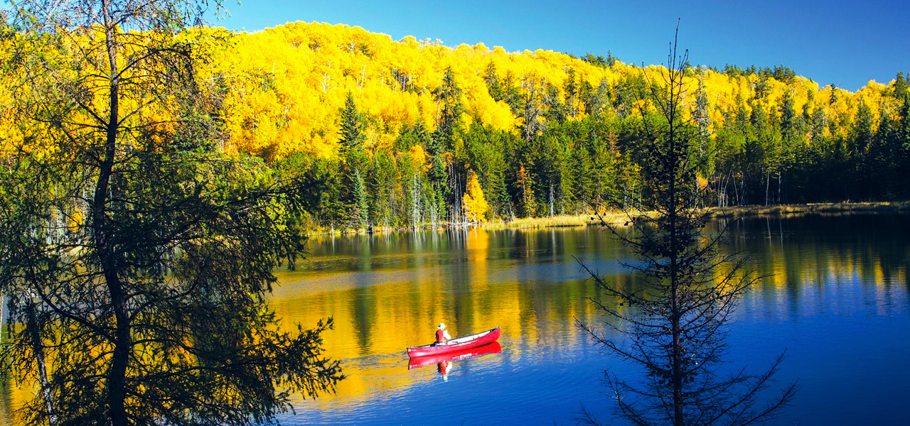
So what is Canada like? Possibly very different to your home country, meaning that it’s a good idea to do some research before you arrive here so that you can be prepared for the climate in the province you’re considering living and working in as a nurse.
These pages will help to introduce you to important features of this country, such as the Canadian climate and location of each province.
Canada is a North American country stretching from the U.S. in the south to the Arctic Circle in the north. It is made up of 10 provinces and 3 territories, and is the second largest country on earth, covering 9.985 million square kilometres (3.85 million square miles). It is a multicultural country with an ethnic and linguistic mix that is unique in the world, made up of a population of around 38 million people.
Canada may be very different from your home country, which means there is a great deal to learn about and explore before you arrive here.
Canada has one of the most positive immigration policies in the world. Roughly around 20 per cent of Canadians were born outside of Canada. In Toronto, Canada’s largest city, this number is over 45 per cent. Immigrants are a valued part of what makes up Canada’s multicultural society. Major cities include east coast Toronto, Vancouver to the west, French-speaking Montréal and Québec City, and capital city Ottawa.
Canada is a constitutional monarchy. This means:
- the Queen or King of Canada is the head of state
- the Prime Minister is the head of government
The Governor General represents the Queen in Canada. The Sovereign appoints the Governor General on the Prime Minister’s advice. The appointment is usually for five years.
Learn more about Canada’s provinces and territories below:
- NNAS Video - PM Justin Trudeau talks on attracting talent to Canada at The Canada Summit in 2016
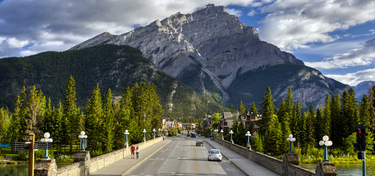
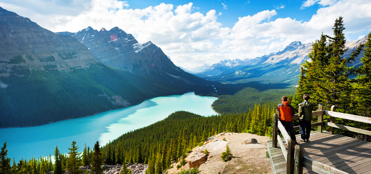
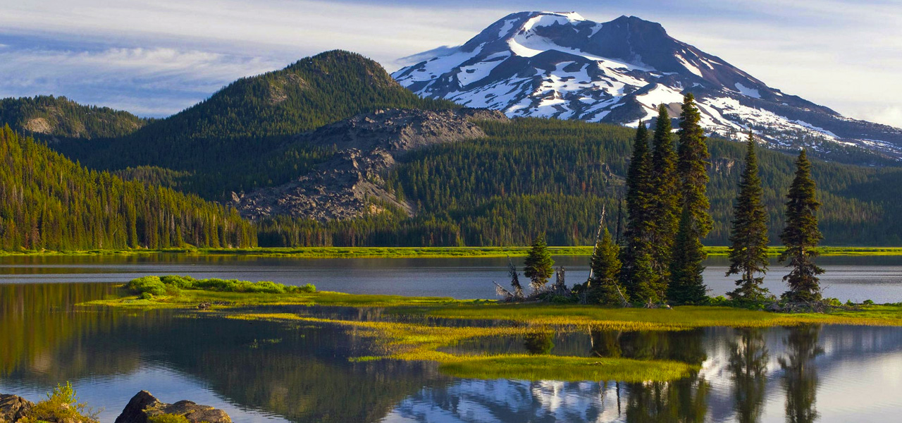
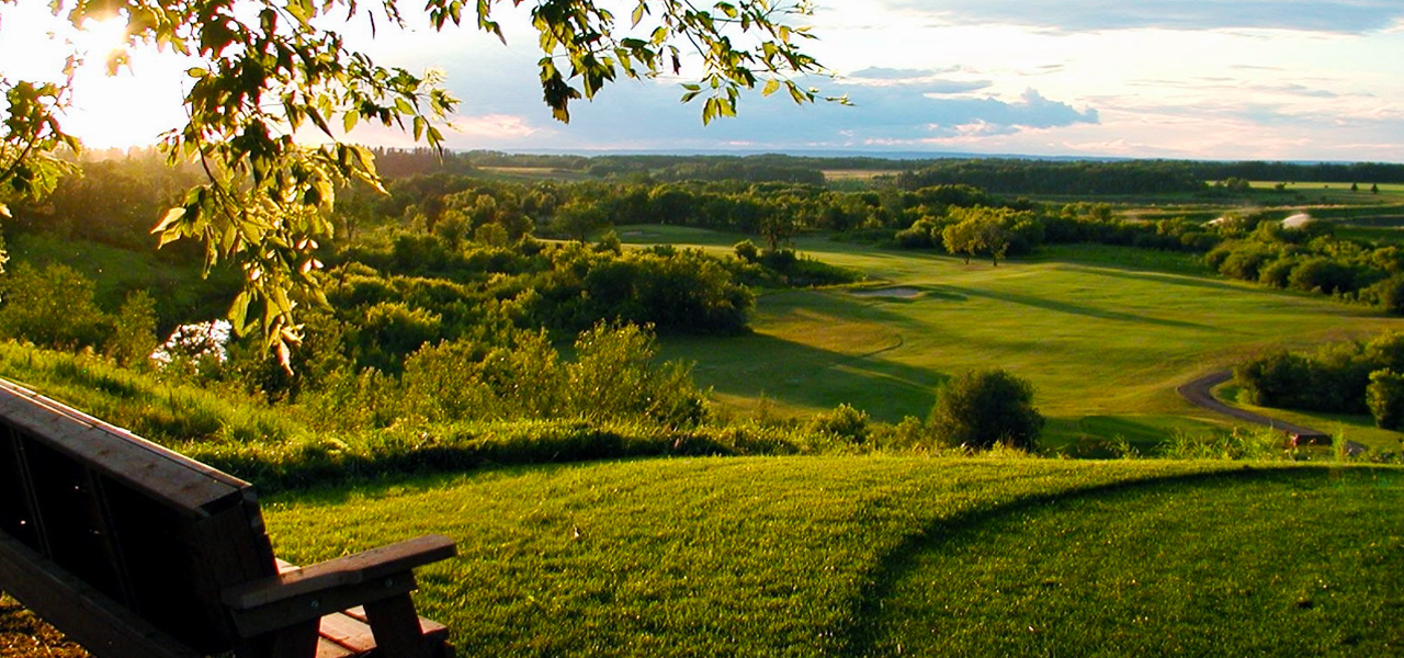
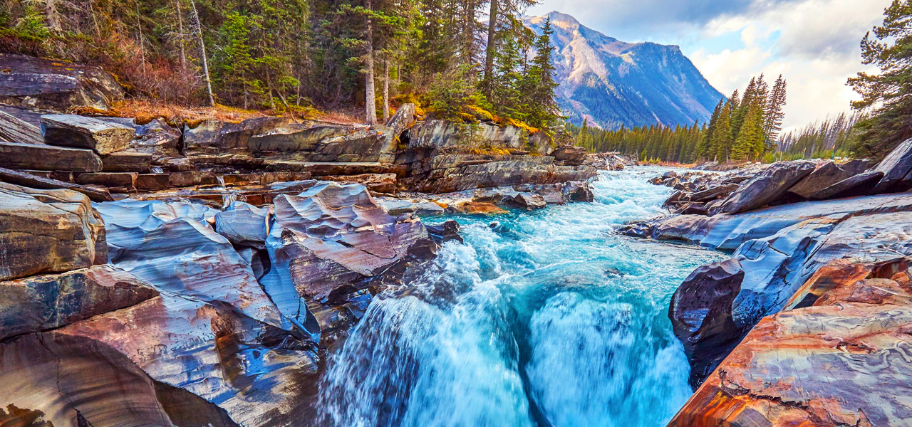
Alberta
Alberta is a province in Western Canada and is one of three Canadian provinces and territories to border only a single U.S. state and one of only two landlocked provinces. Calgary is the largest city in Alberta and is around 290 km (180 mi) south of the capital (Edmonton). Alberta is named after Princess Louise Caroline Alberta who was the fourth daughter of Queen Victoria. It is the 4th largest province after Quebec.
Links about Alberta
Here are some links to help you discover Alberta further –
- Living and working in Alberta. - Discover more about Alberta, a newcomers' guide.
- Find information and resources about Alberta, and moving to Alberta. - Find important information and resources about living and working in Alberta.
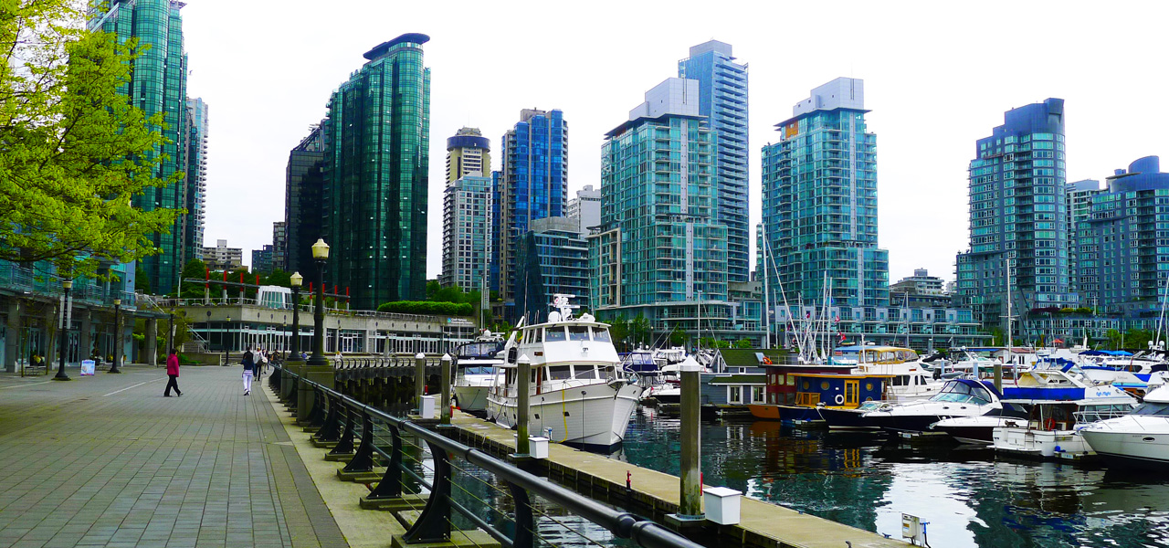
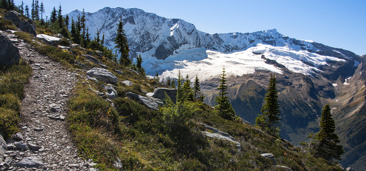
British Columbia
British Columbia is the westernmost province in Canada and has the third highest population. While the coast of British Columbia and some valleys in the south-central part of the province have mild weather, the majority of its land mass experiences a cold-winter-temperate climate similar to the rest of Canada. The city of Vancouver has by far the mildest winter climate of the major Canadian cities, with nighttime January temperatures averaging above the freezing point.
Links about British Columbia
Here are some links to help you discover British Columbia further –
- Welcome to BC Video Channel - See and hear more about living and working in B.C.
- The B.C. Newcomers’ Guide - The B.C. Newcomers’ Guide will give you the information you and your family need to settle in B.C. quickly and easily.
- The Ministry of Health of British Columbia. - The Ministry of Health has overall responsibility for ensuring that quality, appropriate, cost effective and timely health services are available for all British Columbians, learn more about the sector here.
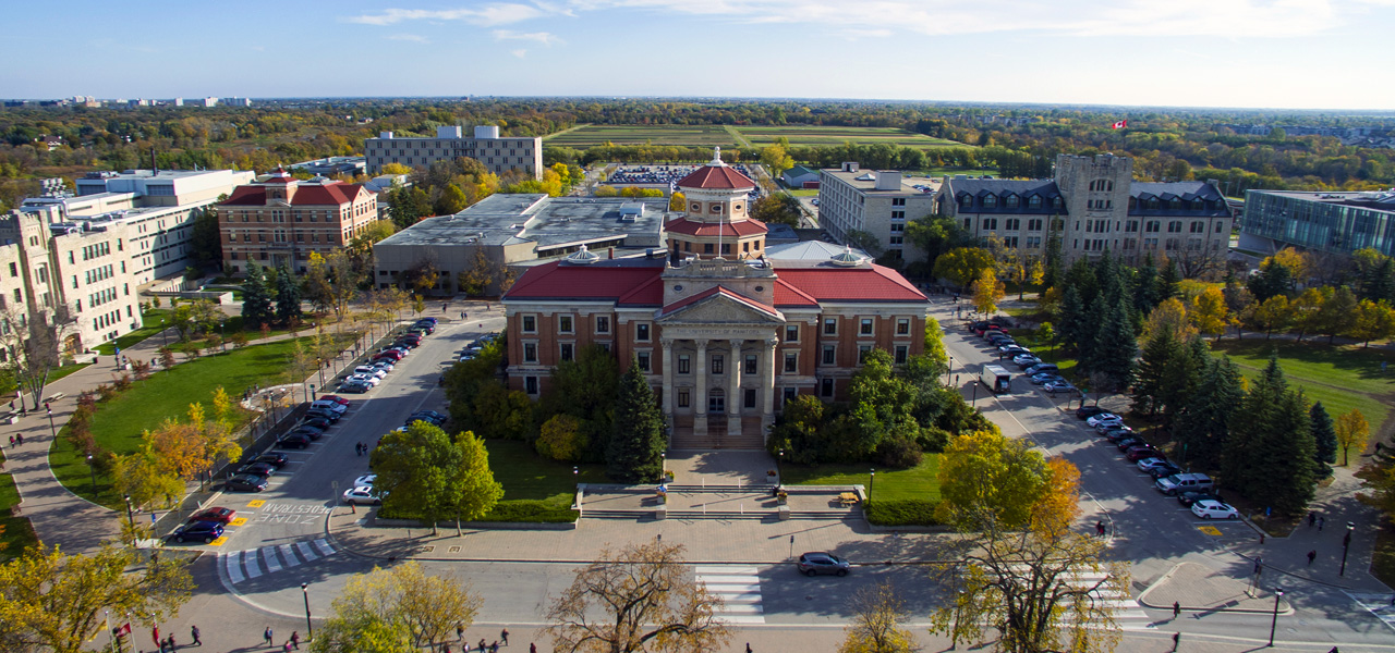
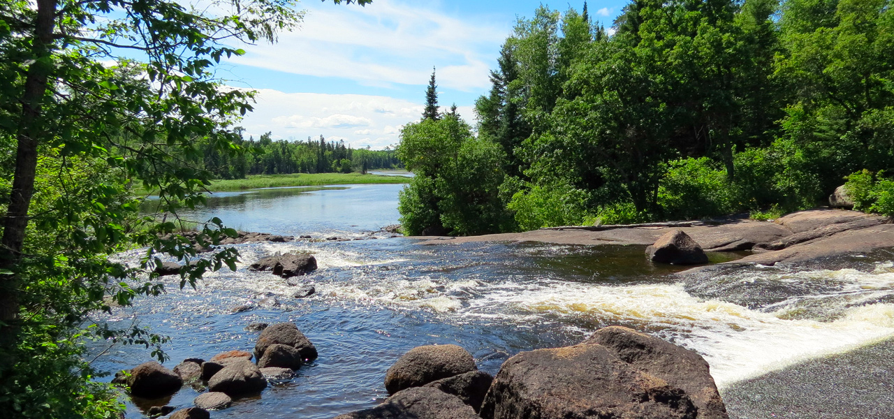
Manitoba
Manitoba is one of the Prairie Provinces of Canada, lying midway between the Atlantic and the Pacific oceans. Winnipeg, Manitoba’s largest city, is the capital. Manitoba is Canada’s fifth most populated province with a population of around 1.3 million. By industry, the largest number of Manitobans are employed in healthcare and social assistance, followed by retail trade, manufacturing and educational services.
Links about Manitoba
Here are some links to help you discover Manitoba further –
- Manitoba: My New Home. - International students, skilled workers, and entrepreneurs from all over the world are making Manitoba their new home.
- Prepare yourself for your new life in Manitoba before you arrive! - Take advantage of the pre-arrival tools in Manitoba Immigration’s Service Continuum while your visa is processed by Immigration, Refugees, and Citizenship Canada.
- Government of Manitoba Video - A short video showing some of Manitoba.
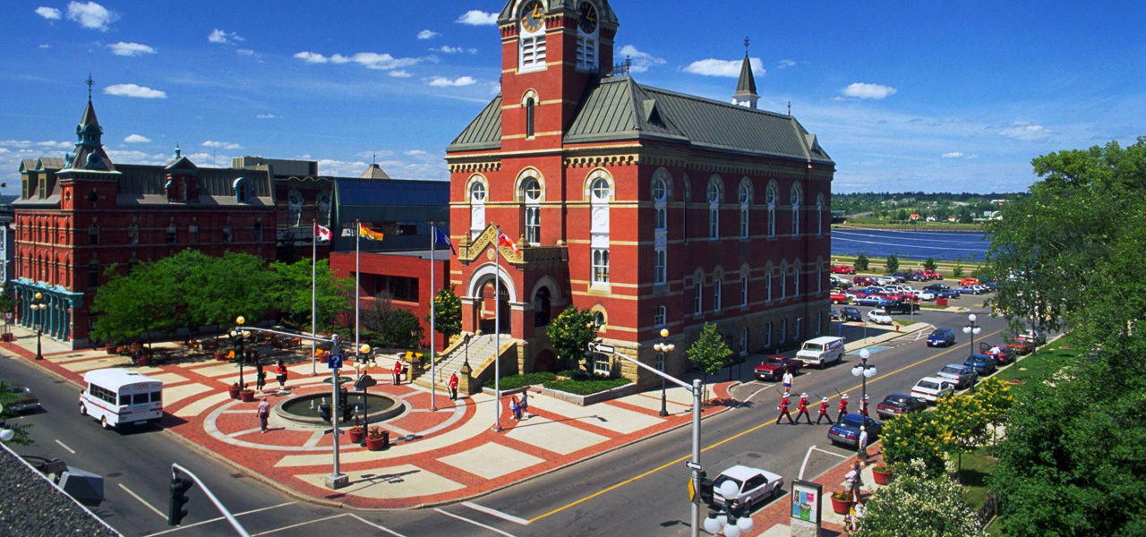
New Brunswick
New Brunswick is Canada’s 8th most populated province, bordered on the north by Quebec, on the east by the Atlantic Ocean, on the south by the Bay of Fundy, and on the west by the US state of Maine. The southeast corner of the province is connected to Nova Scotia at the isthmus of Chignecto. According to the Constitution of Canada New Brunswick is the only bilingual province. About two thirds of the population declare themselves anglophones and a third are francophones. One third of the overall population describe themselves as bilingual.
Links about New Brunswick
Here are some links to help you discover New Brunswick further –
- Newcomers Guide to New Brunswick - Orientation guide for newcomers to New Brunswick.
- The Healthcare sector in New Brunswick. - Information on employment in health care - New Brunswick.
- Before you arrive in New Brunswick - What to do before you arrive, once you have been accepted as a Provincial Nominee.
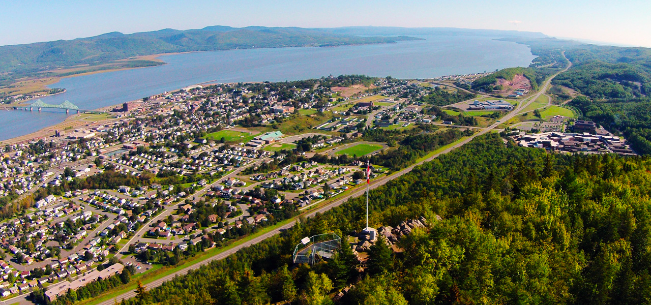
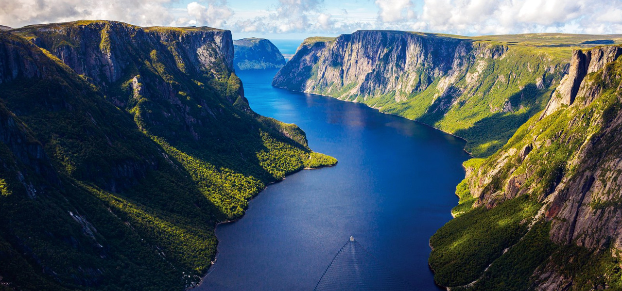
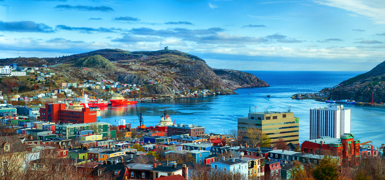
Newfoundland and Labrador
Newfoundland and Labrador is the most easterly province of Canada. Situated in the country’s Atlantic region, it comprises the island of Newfoundland and mainland Labrador to the northwest. The capital and largest city, St. John’s, is Canada’s 20th largest census metropolitan area, followed by Corner Brook, Grand Falls-Windsor and Bay Roberts. Newfoundland is the youngest of the Canadian provinces, joining Confederation in 1949.

Links about Newfoundland and Labrador
Here are some links to help you discover Newfoundland and Labrador further –
- Newcomers Guide - Orientation guide for newcomers to Newfoundland and Labrador.
- Learn about the capital city of Newfoundland and Labrador. - Discover more about the provinces capital and largest city.
- Work - Immigrate to Newfoundland and Labrador. - A video and some information on working in Newfoundland and Labrador.
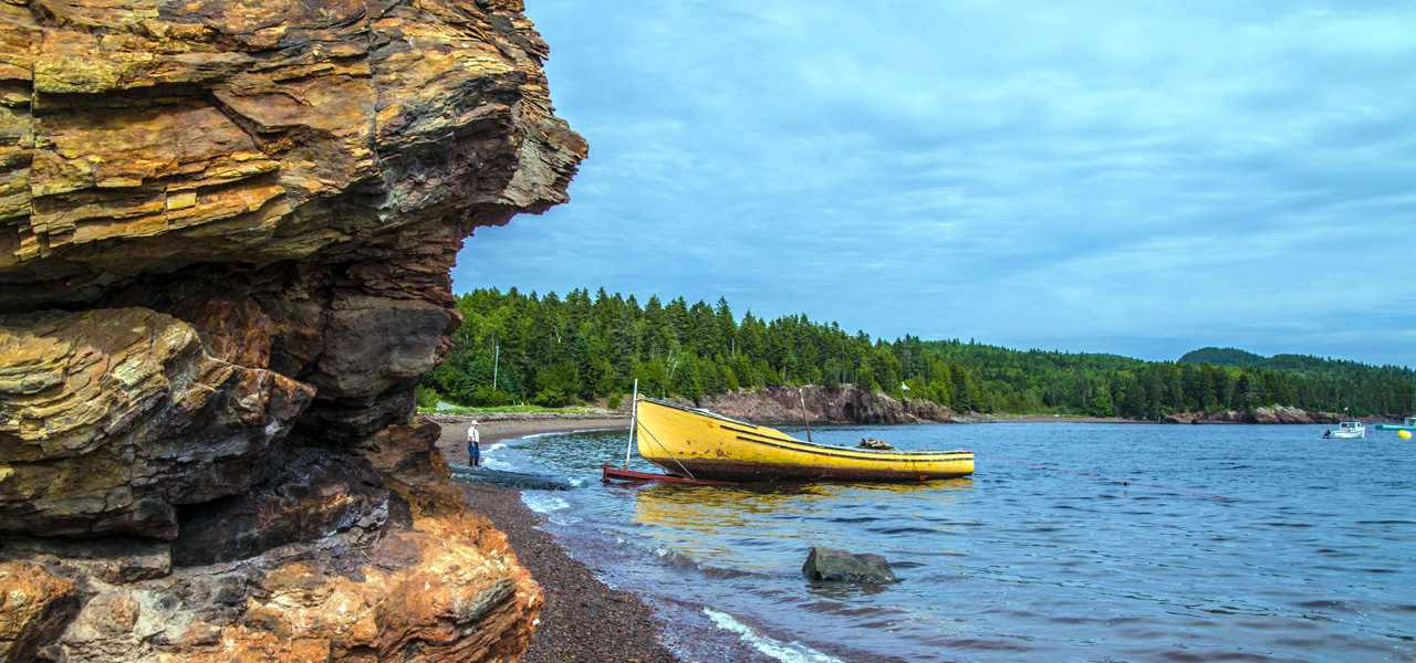
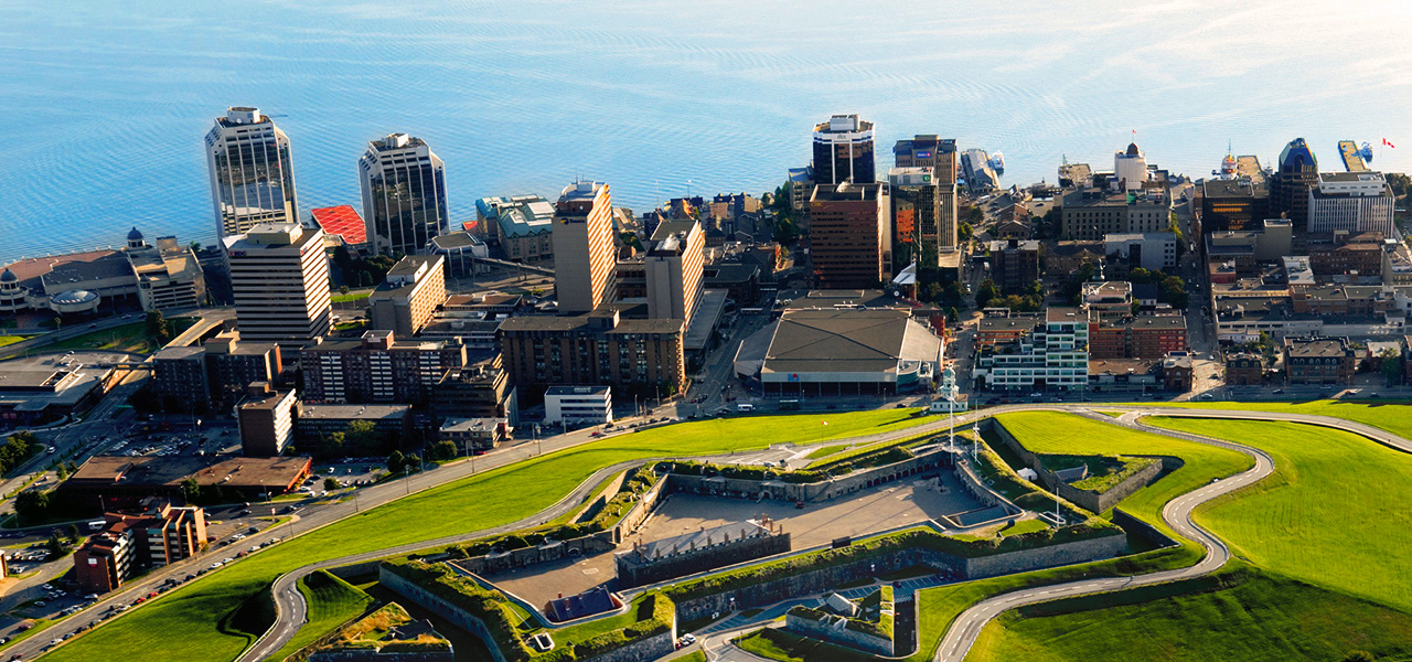
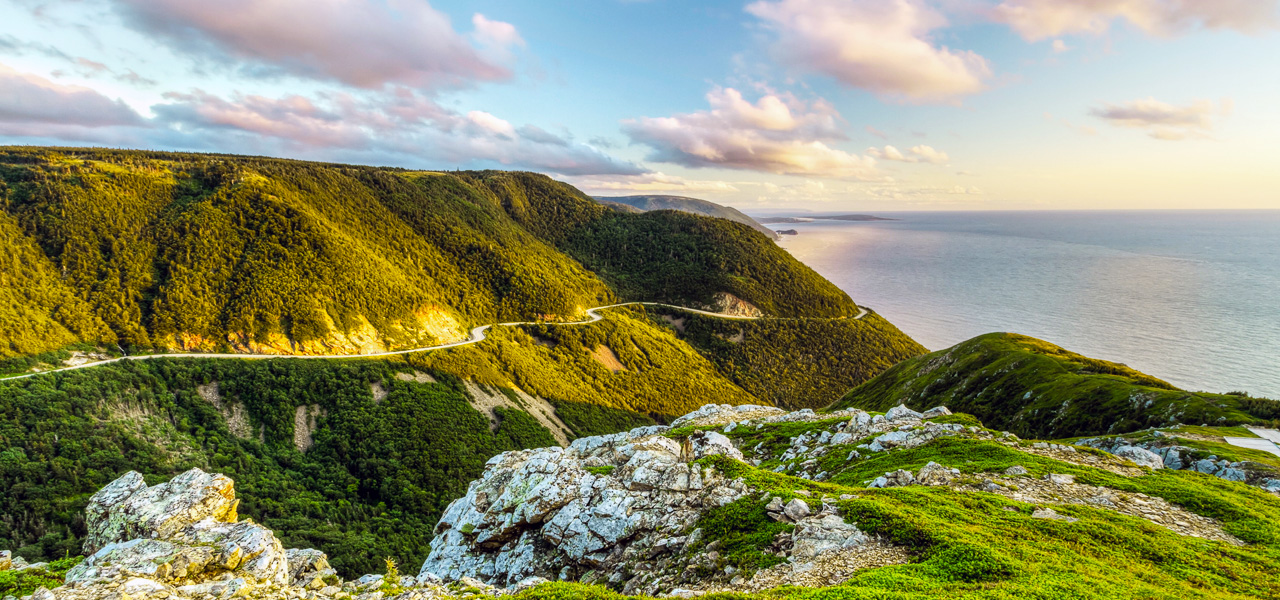
Nova Scotia
Nova Scotia is Canada’s smallest province in area after Prince Edward Island. The province’s mainland is the Nova Scotia peninsula surrounded by the Atlantic Ocean, including numerous bays and estuaries. Its capital city is Halifax, and it is Canada’s 2nd most densely populated province. The next most populated cities include Sydney, Truro, New Glasgow and Glace Bay. 81 per cent of the employed population in 2013 worked in the service sector and within this sector, the trades, health care and social assistance, and education were the top employers.

Links about Nova Scotia
Here are some links to help you discover Nova Scotia further –
- Information for new immigrants to Nova Scotia. - If you are getting ready to immigrate to Nova Scotia, or have just arrived here, this is the place to start.
- Immigrant Services Association of Nova Scotia (ISANS) Link - Information on finding employment in a regulated profession in Nova Scotia.
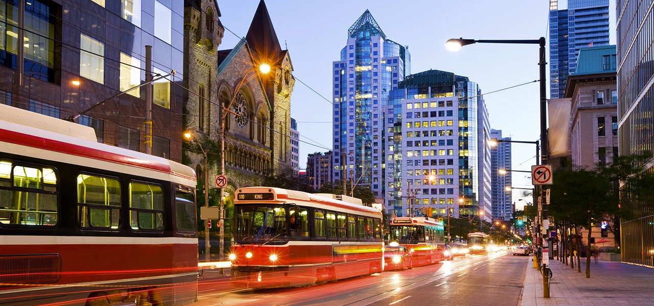
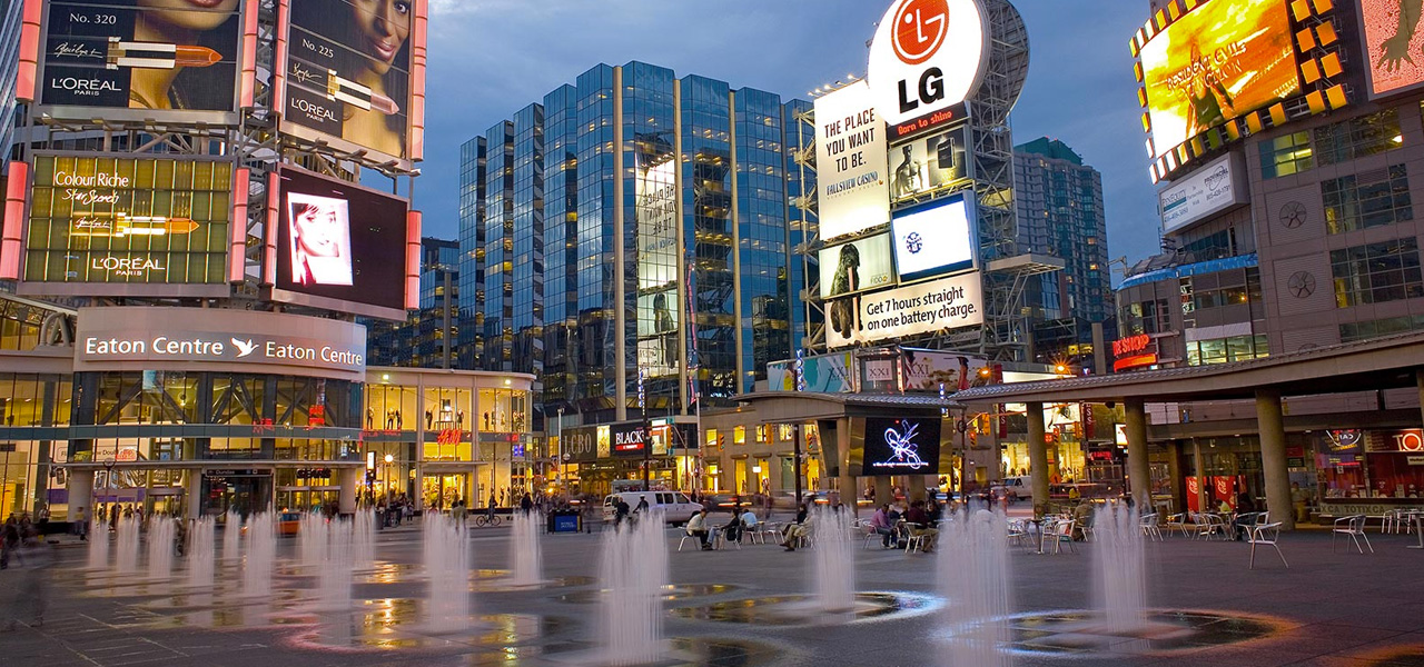
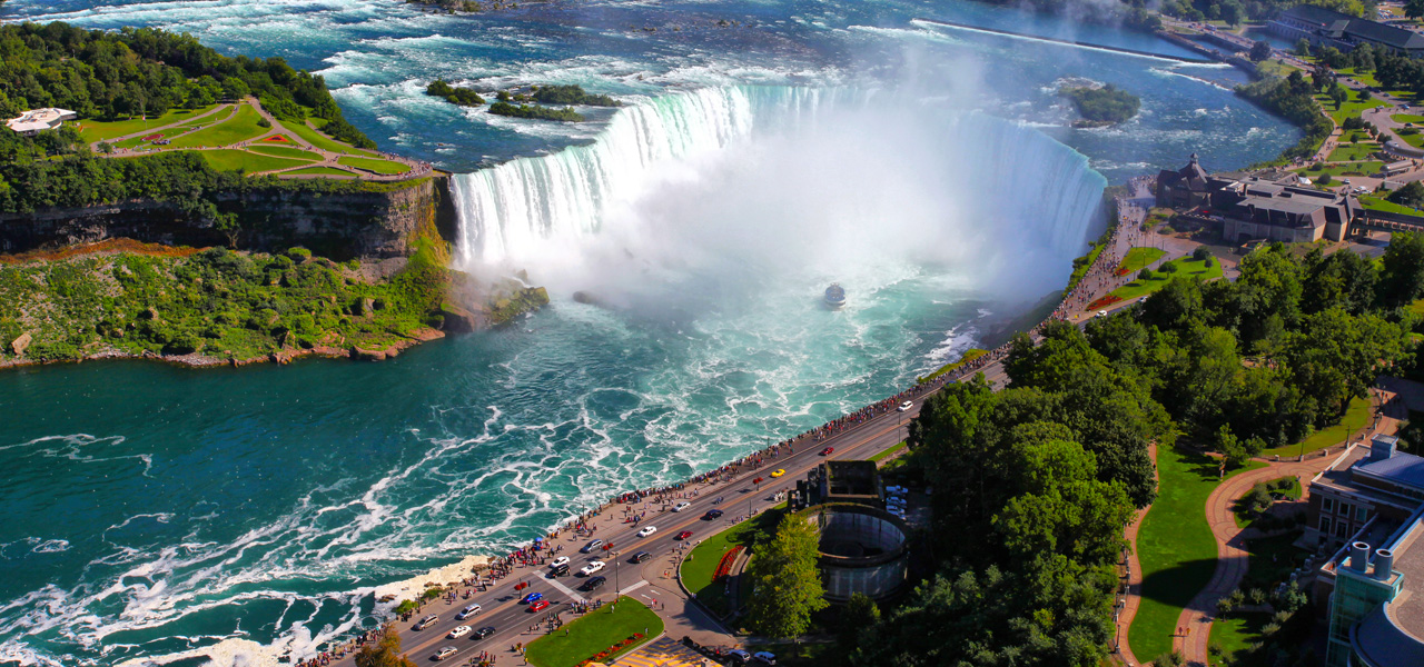
Ontario
Ontario is in east-central Canada and is the most populous province, accounting for nearly 40 percent of the country’s population, and is the second-largest province in total area. It is home to the nation’s capital city, Ottawa, and the nation’s most populated city, Toronto. Ontario is bordered by the province of Manitoba to the west, Hudson Bay and James Bay to the north, and Quebec to the east and northeast; and to the south by the U.S. states of Minnesota, Michigan, Ohio, Pennsylvania and New York.
Links about Ontario
Here are some links to help you discover Ontario further –
- Newcomers Guide - Orientation guide for newcomers to Ontario, what you should know before you arrive.
- Get settled in Ontario - Government of Ontario - Everything you need to know about moving to and settling in Ontario.
- Working in Ontario as a nurse - A guide to the basics of becoming a nurse in Ontario.
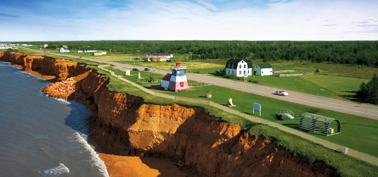
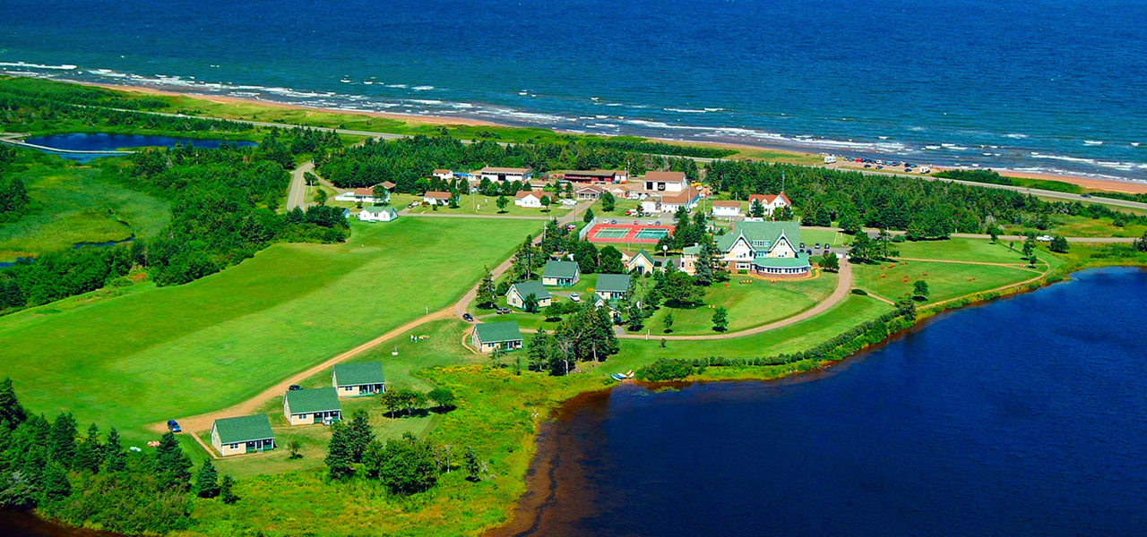
Prince Edward Island
Prince Edward Island (P.E.I) is the smallest province of Canada in both land area and in population, consisting of the island of the same name, and several much smaller islands. Prince Edward Island is one of the three Maritime Provinces. PEI is located about 200 kilometres (120 miles) north of Halifax, Nova Scotia and 600 kilometres (370 miles) east of Quebec City. It consists of the main island and 231 minor islands, but the main island is just slightly larger than the US state of Delaware. The capital of Prince Edward Island is Charlottetown.
Links about Prince Edward Island
Here are some links to help you discover Prince Edward Island further –
- Newcomers Guide - Orientation guide for newcomers to Prince Edward Island.
- An immigration guide to P.E.I - A guide to immigration and employment as a newcomer.
- Everything you need to know about Prince Edward Island. - Prince Edward Island (PEI) is the smallest of the eastern provinces. Learn all about it here.
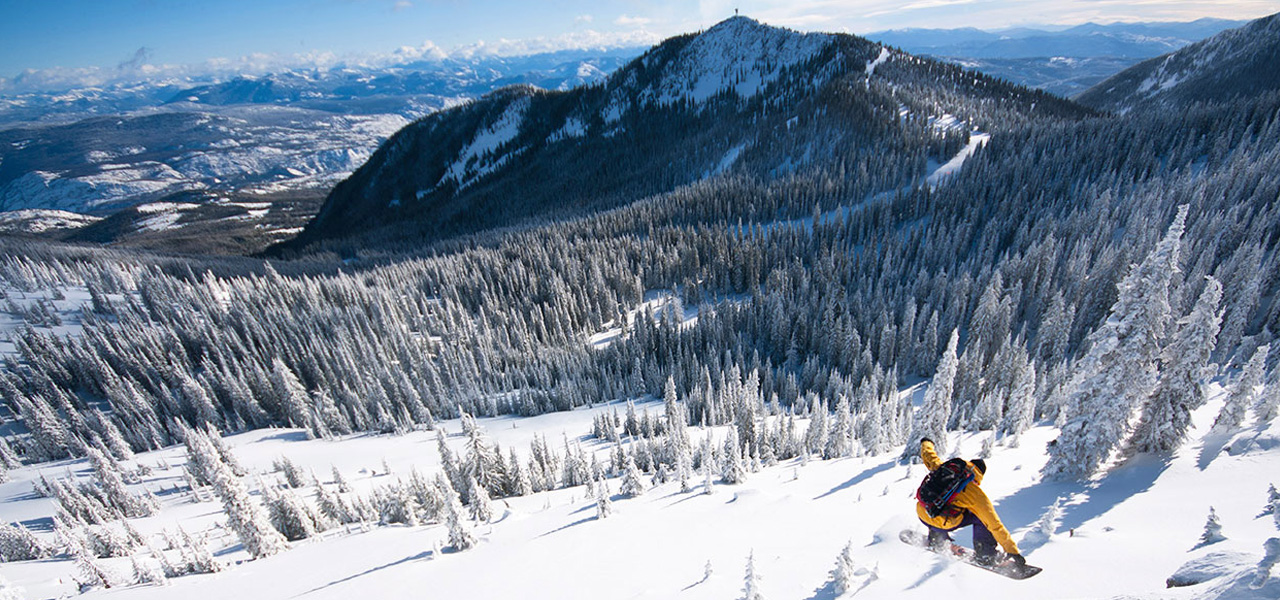
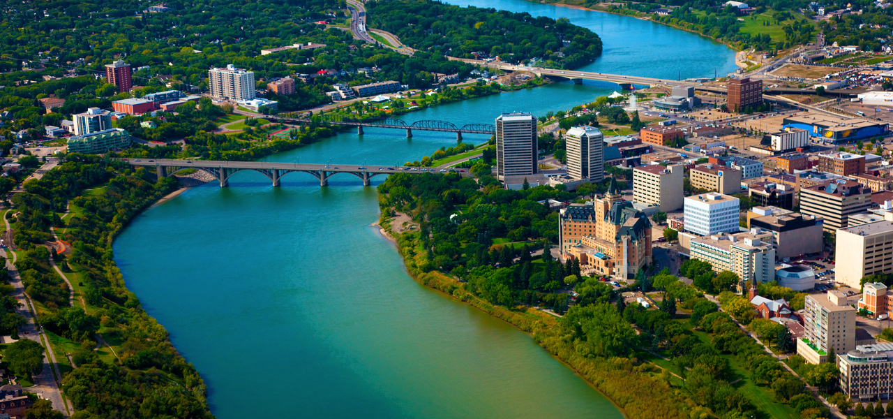
Saskatchewan
Saskatchewan is a prairie province in western Canada, bordered on the west by Alberta, on the north by the Northwest Territories, on the east by Manitoba, to the northeast by Nunavut, and on the south by the U.S. states of Montana and North Dakota. Out of the total population, around half live in the province’s largest city Saskatoon, or the provincial capital Regina. Other cities to note include Prince Albert, Moose Jaw, Yorkton, Swift Current, North Battleford, Melfort, and the border city Lloydminster. It is a landlocked province and as a result, its climate is extremely continental, meaning severe winters throughout the province with southern areas having very warm or hot summers.
Links about Saskatchewan
Here are some links to help you discover Saskatchewan further –
- Newcomers Guide - Orientation guide for newcomers to Saskatchewan.
- Nursing in Saskatchewan - Learn what you need to apply to the SINP (Saskatchewan Immigrant Nominee Program) as a nurse.
- Regina - The capital of Saskatchewan - Learn more about the province itself.
Canada also includes Quebec, Yukon, Nunavut and the Territories, who have their own nursing evaluation system separate from the NNAS process.
You can find more below –
Information about the process for Quebec: oiiq.org
Information for Yukon: yukonnurses.ca
Information for: The Territories via Registered Nurses of the northwest territories and Nunavut